Pristine Properties Vacation Rentals
Cape San Blas Vacation Rentals – St. Joe Beaches
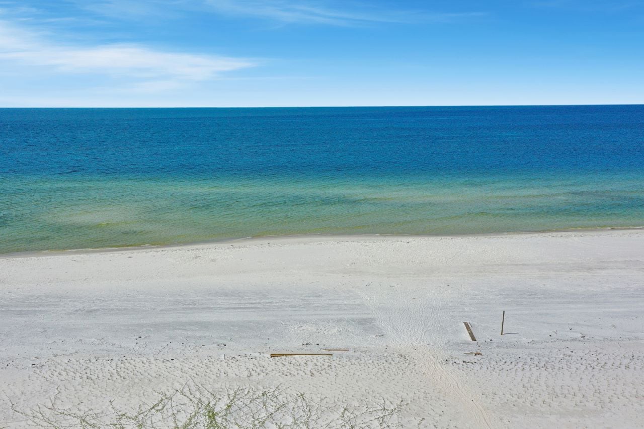
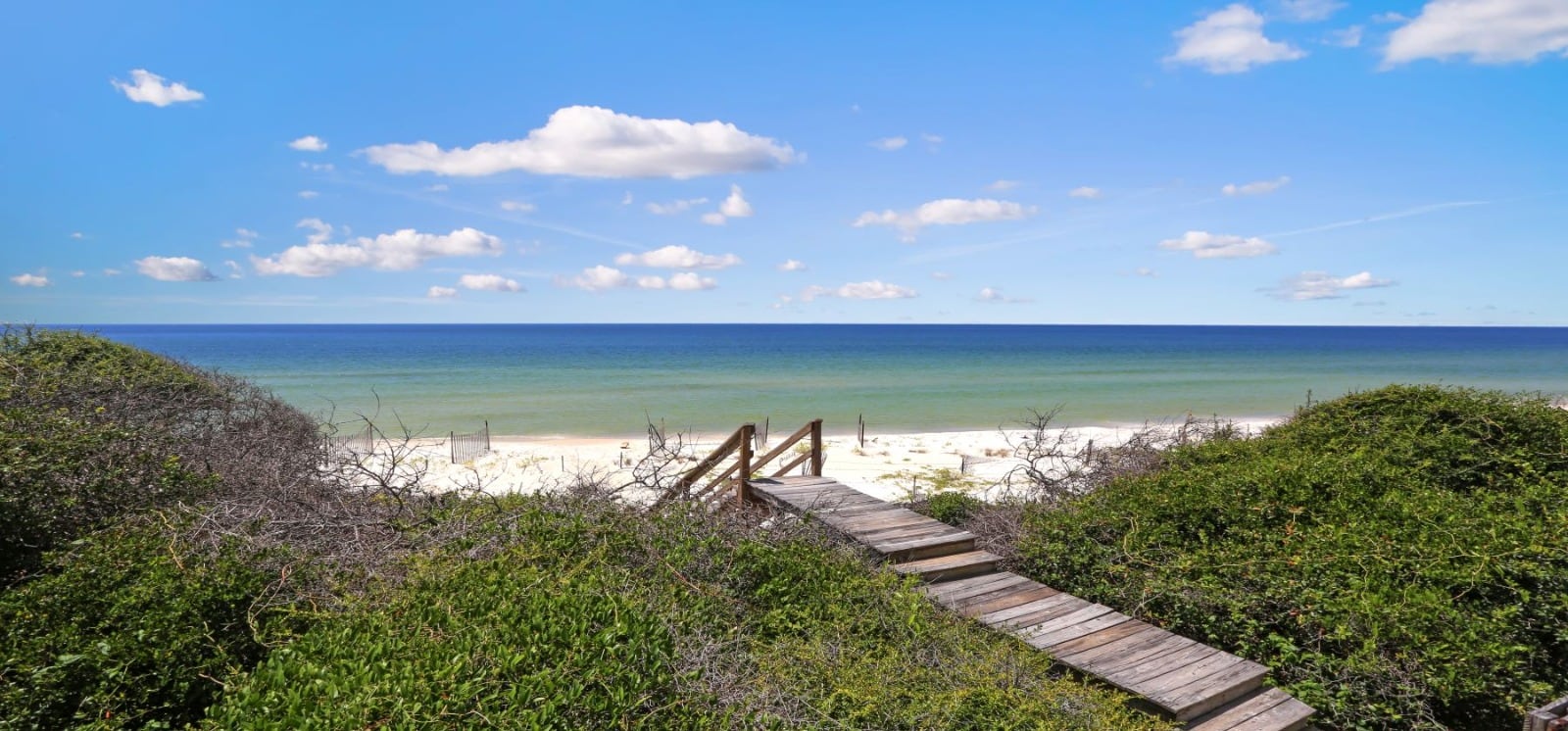
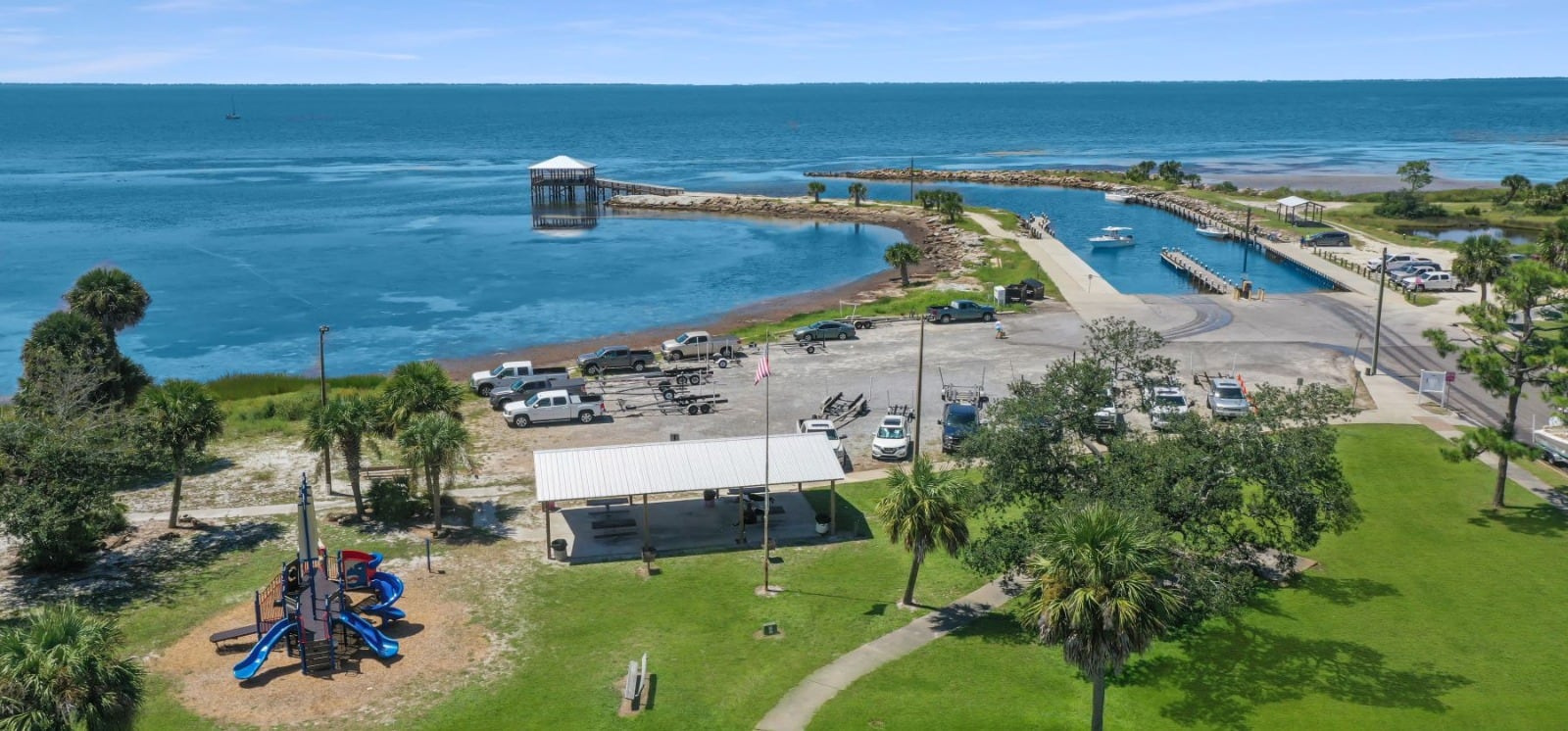
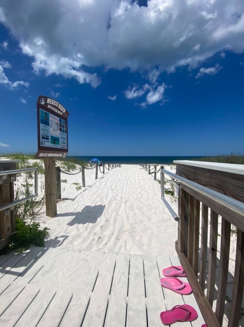
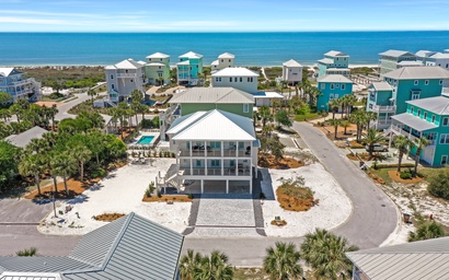
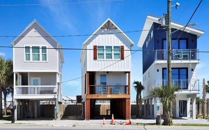
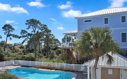
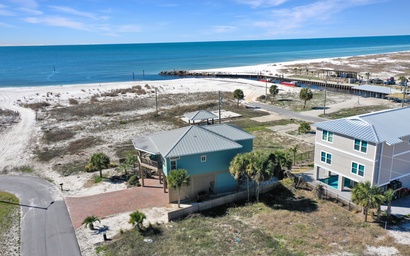
When you hear the ocean calling your name, consider a relaxing vacation along the Gulf Coast in Florida. Pristine Properties is proud to offer a selection of Cape San Blas Vacation Rentals, Port St. Joe Vacation Rentals and Mexico Beach Florida Vacation Rentals along the white sand beaches. We have Cape San Blas vacation rentals as well as rentals in Indian Pass, St. Joe Beach and Mexico Beach, FL. Our beaches are among the most beautiful in America and will provide one of a kind Cape San Blas vacations memories to last a lifetime.
.jpg)

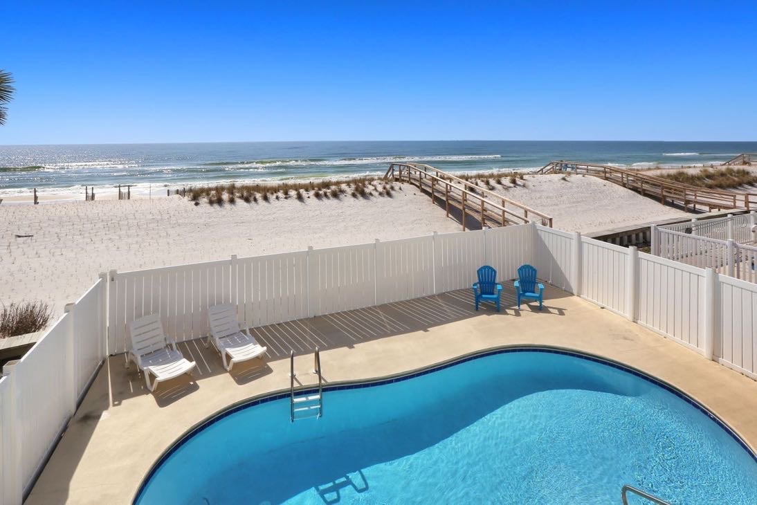
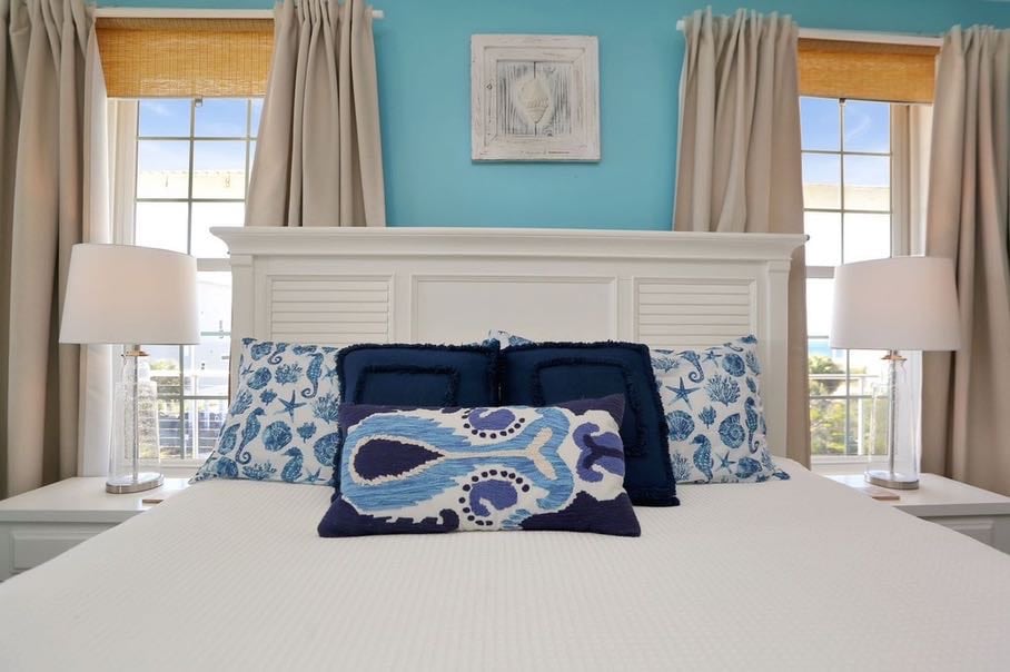
Our Featured Vacation Rentals
VIEW SOME OF OUR FEATURED PROPERTIES SELECTED JUST FOR YOU!
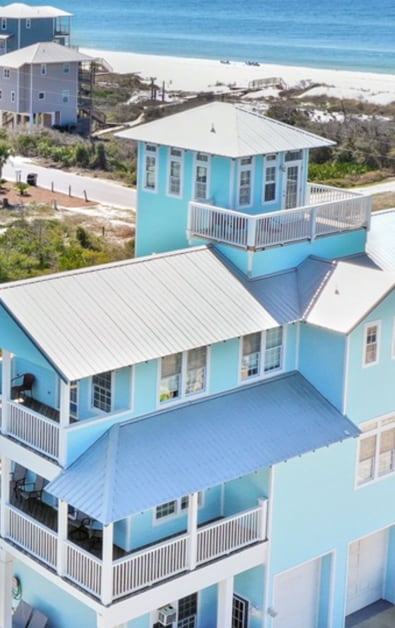
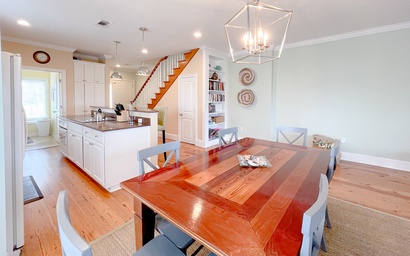
The Blue Pearl
3 bedrooms
3 baths
10 guests
White Pelican
5 bedrooms
3 baths
10 guests
Gin Fizz
3 bedrooms
3 baths
8 guests
Club at Cape San Blas A3 - Shell Seeker
3 bedrooms
2 baths
7 guests
Lulu's Beach House
5 bedrooms
4 baths
15 guests
Bucket List
2 bedrooms
2 baths
6 guests
Oystercatcher
4 bedrooms
3 baths
8 guests
The Blue Turtle
4 bedrooms
4 baths
8 guests
VIEW SOME OF OUR